


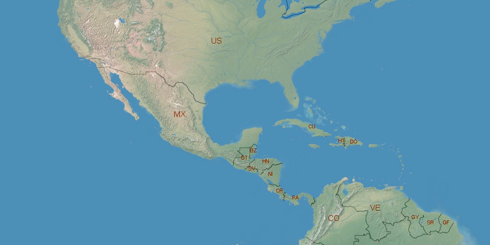
Dominican Republic is located in North America, in GMT-4 time zone (with current time of 12:08 PM, Saturday). Offset from your time zone: hours. It is positioned on 48730 km² area with population of approximately 9.8 million. Neighbor countries: Haiti.
Capital of Dominican Republic is Santo Domingo.
| ↕ | Latitude (dec.) | Latitude (DMS) |
|---|---|---|
| North border | 19.9786989 | 19° 58' 43.316" North |
| South border | 17.3611001 | 17° 21' 39.96" North |
| Height ↕ | ∼291 km | |
| ↔ | West border | East border |
|---|---|---|
| Longitude (dec.) | -72.0075099 | -68.2526001 |
| Longitude (DMS) | 72° 0' 27.036" West | 68° 15' 9.36" West |
| Width ↔ | ∼395.4 km | |


Sources:
• Base of the used natural world map was created by Tom Patterson, cartographer.
• Boundary lines of Dominican Republic were drawn using data from boundaries.us.
• Geographic location: processed from www.geonames.org database.